MINERALOGY
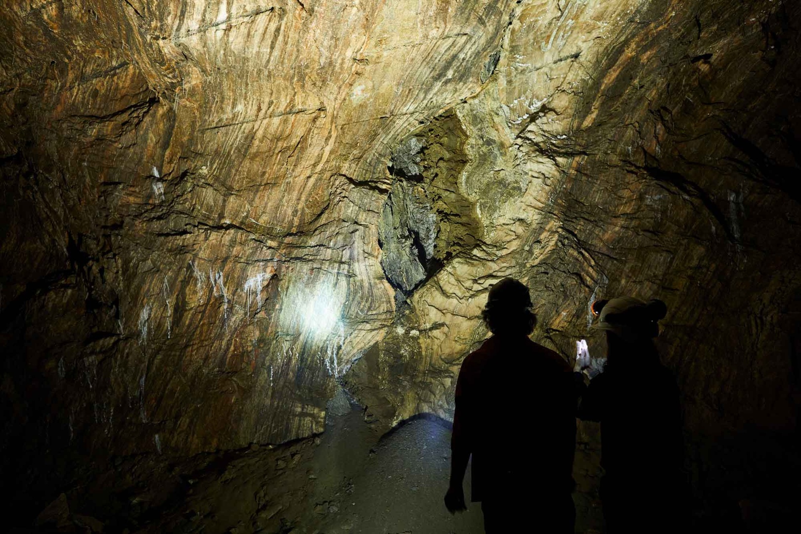
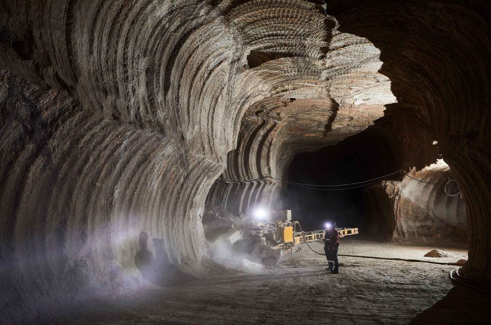
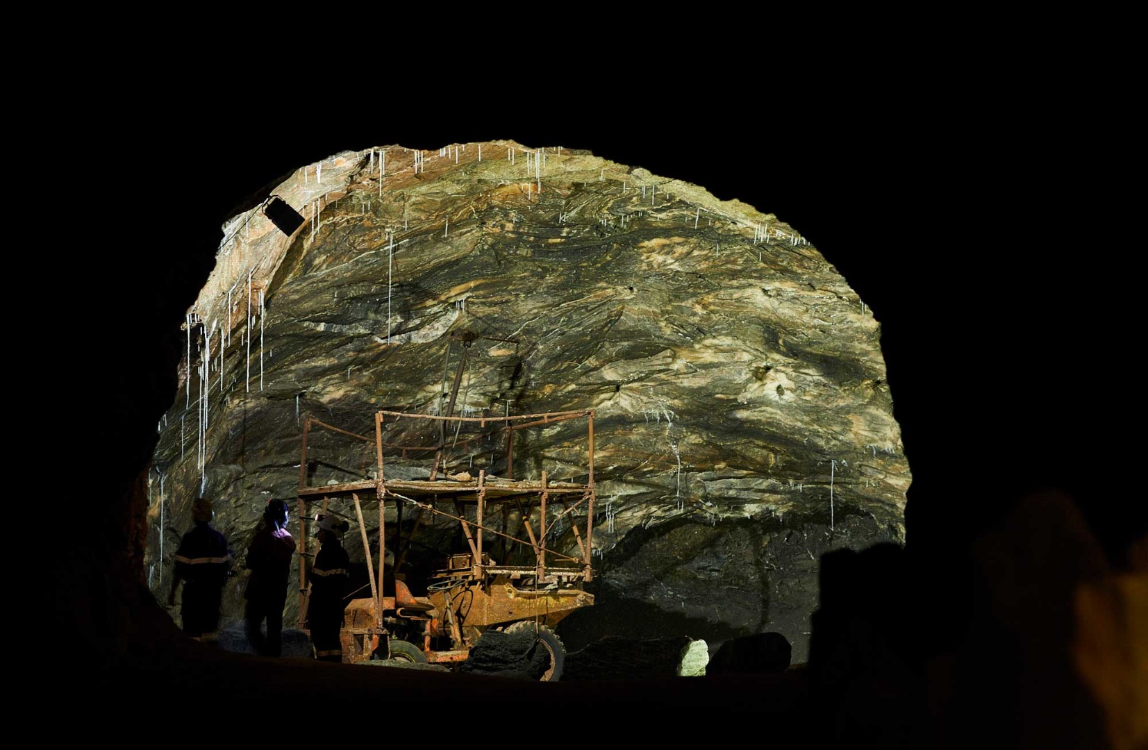
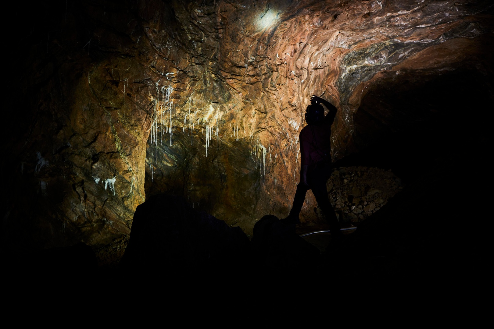
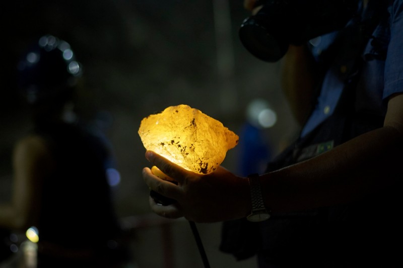
The extraction of salt (halite – sodium chloride) from the Loulé Rock Salt Rock mine, located between 230 and 314 meters deep (with the upper level of the mine at a depth of 30 meters below average sea level), began in the second half of the 20th century. Today, the mine consists of approximately 40 kilometres of underground galleries.
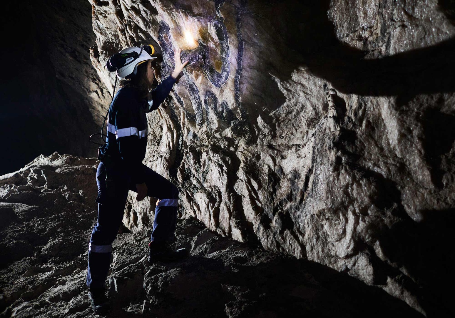
Salt, along with other minerals like anhydrite and sylvite, formed through the evaporation of seawater in shallow marine environments characterised by a warm, arid climate. These conditions developed in rift basins created by the initial tectonic movements that led to the fracturing and fragmentation of the supercontinent Pangaea, followed by the subsequent opening of the North Atlantic Ocean.
This geological phase occurred between the Late Triassic (237-201 million years ago) and the Early Jurassic (201-175 million years ago). During this period, extensive deposits of halite and anhydrite formed in evaporitic basins. The precipitation of these evaporites was intermittently interrupted by layers of clays and dolomites of microbial origin, resulting in a layer approximately one meter thick. This layer lies at the boundary between the Triassic and Jurassic periods and is linked to significant global ecological and environmental changes, which contributed to the mass extinction of marine and terrestrial organisms at the end of the Triassic period.
After the deposition of evaporites, a thick layer of sediment approximately 3 kilometres in thickness accumulated, primarily composed of limestones during the Jurassic and Early Cretaceous periods. The presence of low-density evaporites beneath denser limestone layers caused the evaporites to rise slowly to shallower depths within the Earth's crust. This ascent was further facilitated by movement along pre-existing faults and compressive tectonic forces that "squeezed" the evaporites toward the surface, resulting in the formation of salt domes amid the surrounding limestone. These domes, known as diapirs, are significant because one of them lies beneath the city of Loulé, where the Salt Gem mine is located.
Venture forth and explore more about this important geological site in the Algarvensis Geopark!
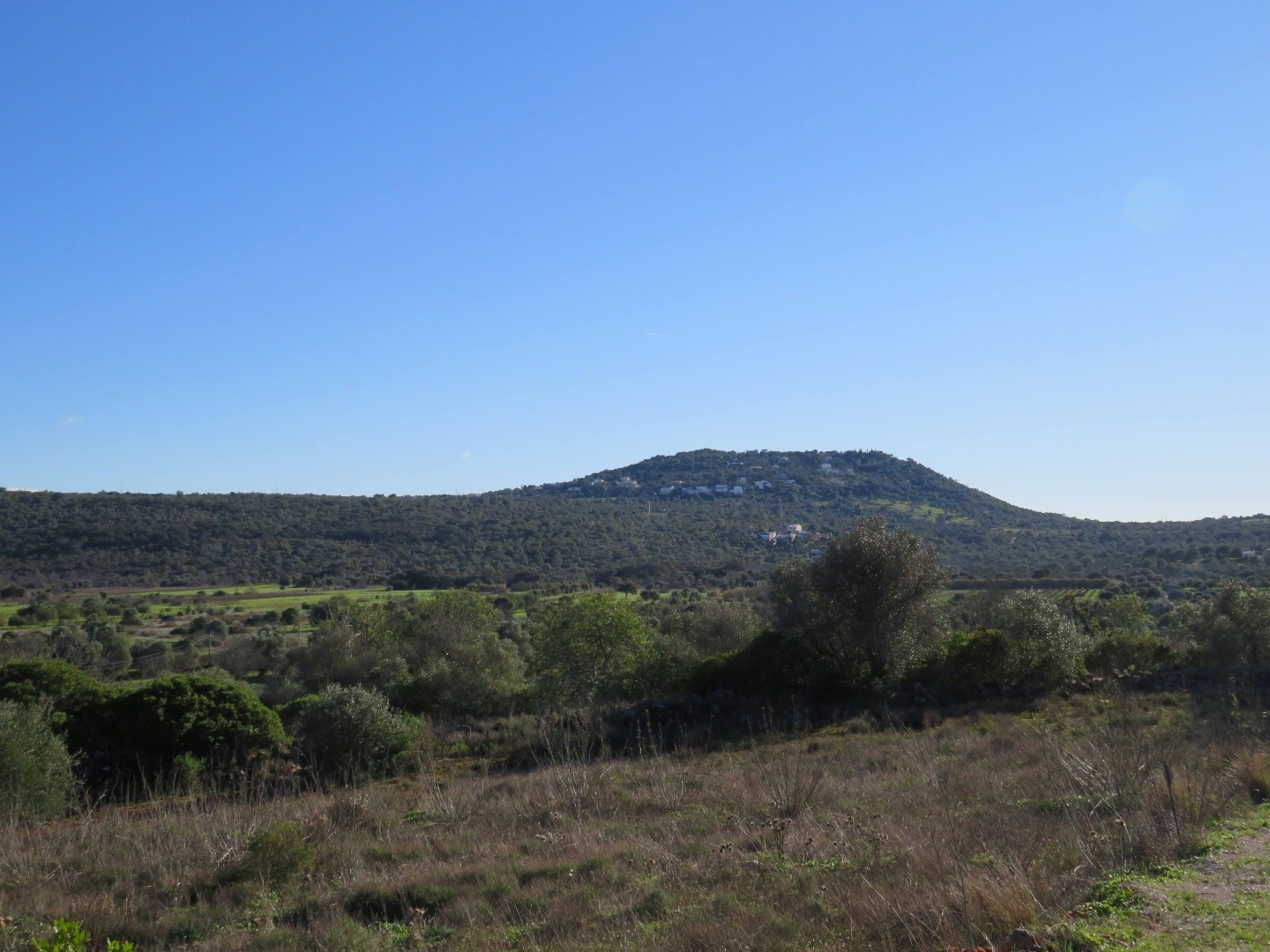
Location: Campina de Cima
Coordinates: 37.135089, -8.008024
More Information: www.TechSalt.pt
Online Tickets here