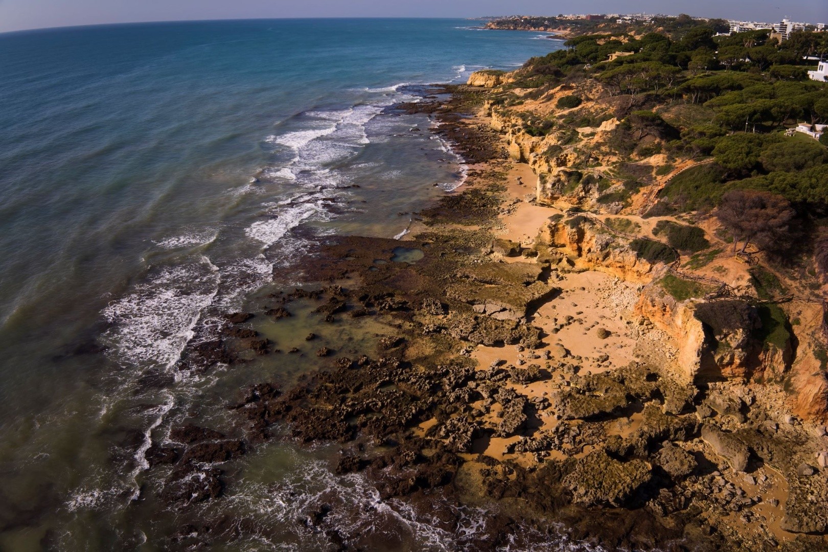
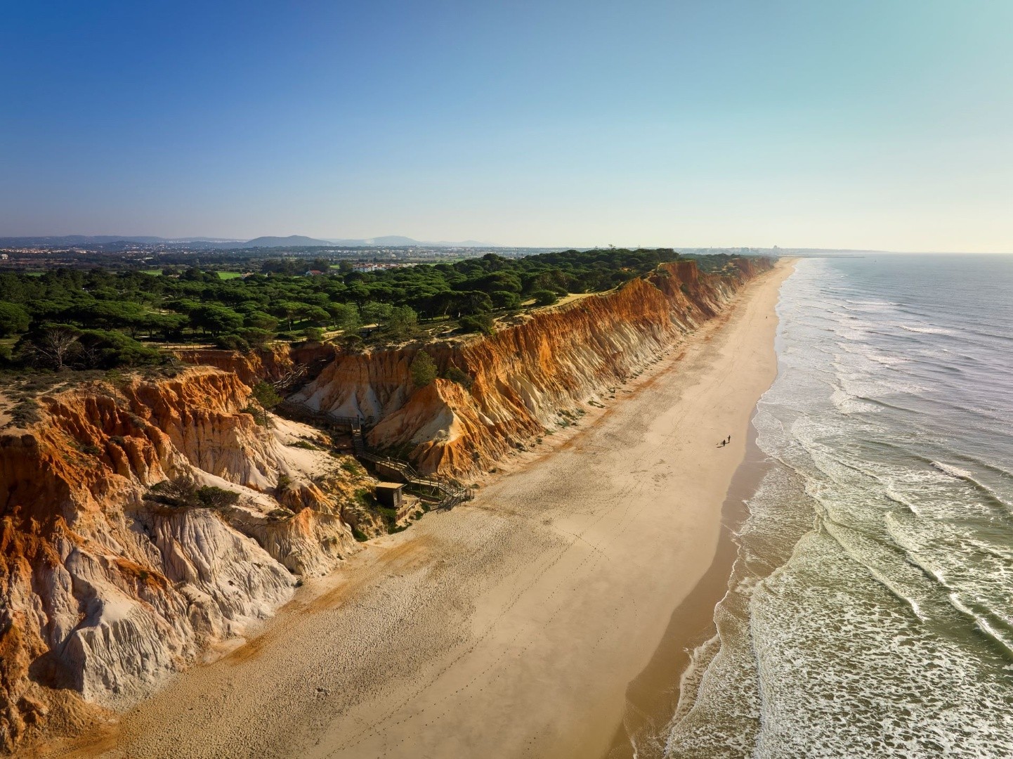
Geological History
About 20,000 years ago, during the period known as the Last Glacial Maximum, the ice sheets of the polar caps reached their greatest extent during the last Ice Age. At this time, the average sea level was 120 meters lower than it is today. Instead of the coastline we know now, a vast expanse of land, currently submerged beneath the waters of the Atlantic, was above water, forming a wide coastal plain. What we now refer to as the "edge of the continental shelf" was, in fact, the shoreline during that period.
Just as we see rivers and cliffs shaping the coast today, there were also large valleys in that ancient landscape. Using geophysical technologies—similar to a sort of "ultrasound of the seabed"—researchers have identified a paleovalley on the Algarve shelf. This ancient river valley carved through the now-submerged land, flowing toward the estuary.
Although this paleovalley is now covered by marine sediments, its course aligns perfectly with an important geological feature in the region: the São Marcos–Quarteira fault, which is a fracture that runs through the Algarvensis Geopark from northwest to southeast.
Locality: