Geological History
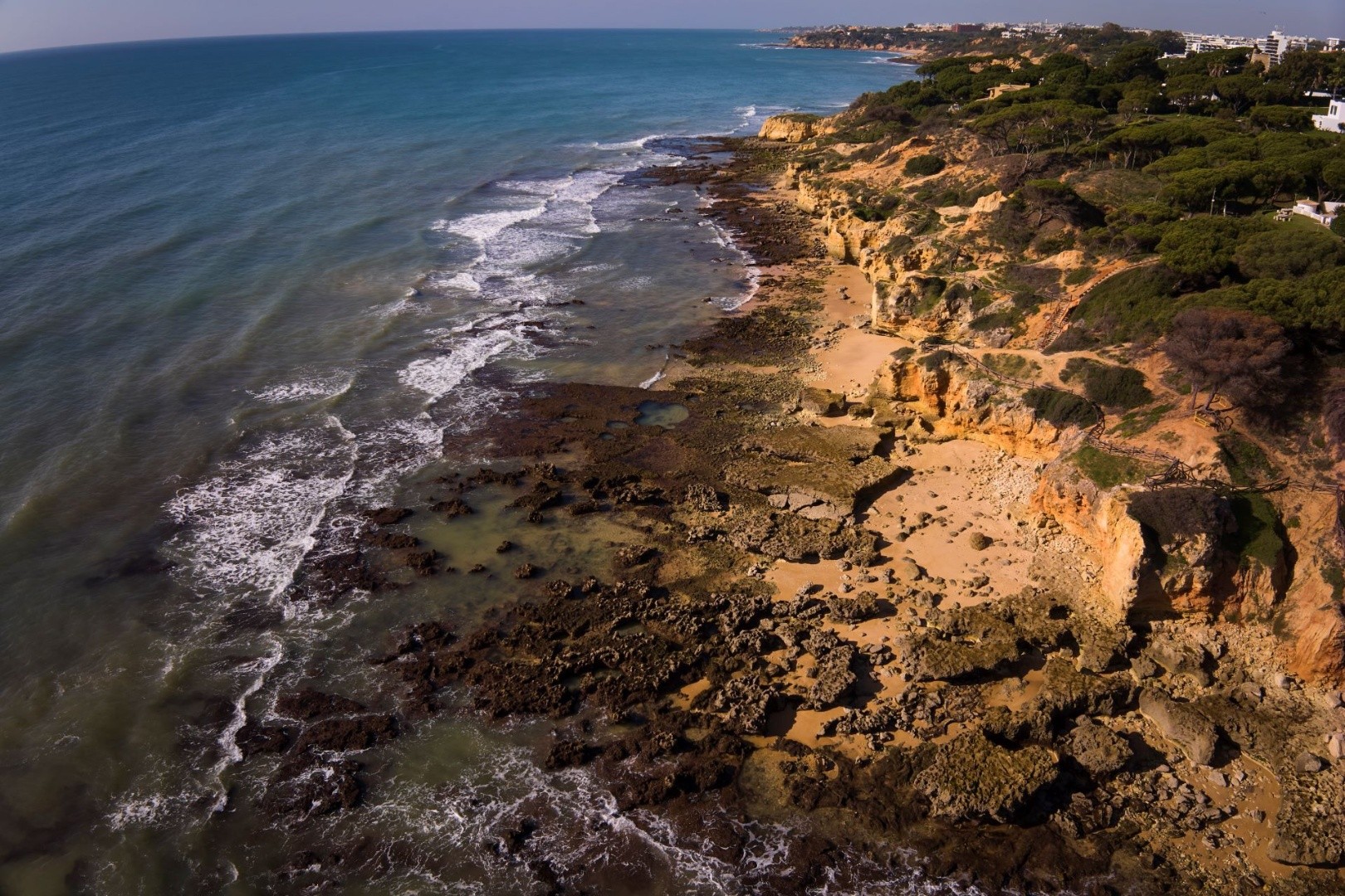
In the Algarve Mountains, the oldest rocks in the region can be found, dating back approximately 345 million years to the Carboniferous period. This mountain range is characterised by layers of shales and greywackes that accumulated at the bottom of an ancient ocean known as the Rheic. These layers formed from sediments (sand and mud) that were transported by turbidity currents—dense underwater flows of water-saturated sediments that move rapidly due to the force of gravity and descend along underwater slopes, such as continental slopes.
When turbidity currents reach the base of the continental slopes, where the gradient levels out to nearly horizontal, they slow down and lose their ability to transport sediments. As a result, they deposit materials in a specific order: first, the larger particles are laid down, followed by the finer sediments that remain suspended in the water. Each turbidity current creates a layer of greywacke, which typically displays a sequence of sedimentary structures that reflect the decrease in current velocity. After the greywacke layers are formed, finer sediments, such as silts and clays, are deposited.
The series of greywacke and laminated mudstone layers is known as turbidites, indicating that turbidity currents deposited them. The ongoing deposition of these layers in a particular order contributes to the compaction of the sediments, particularly the clays. Through this compaction process, the clays form shales, which have planes that can easily split along the layers parallel to the stratification.
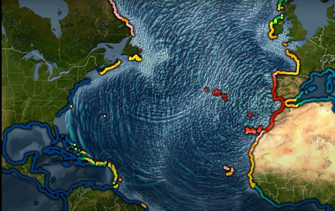
The source of the clastic sediments found in the layers of greywackes and shales originates from ancient continents situated along the borders of the Rheic Ocean, specifically Euramerica and Gondwana. The collision of these continents led to the closure of the Rheic Ocean and the formation of the supercontinent Pangaea. The turbidites that accumulated in this ocean were deformed by tectonic forces resulting from this continental collision and were gradually integrated into the structures of the Variscan Mountain Range. This range is characterised by folds and faults observable at various scales.
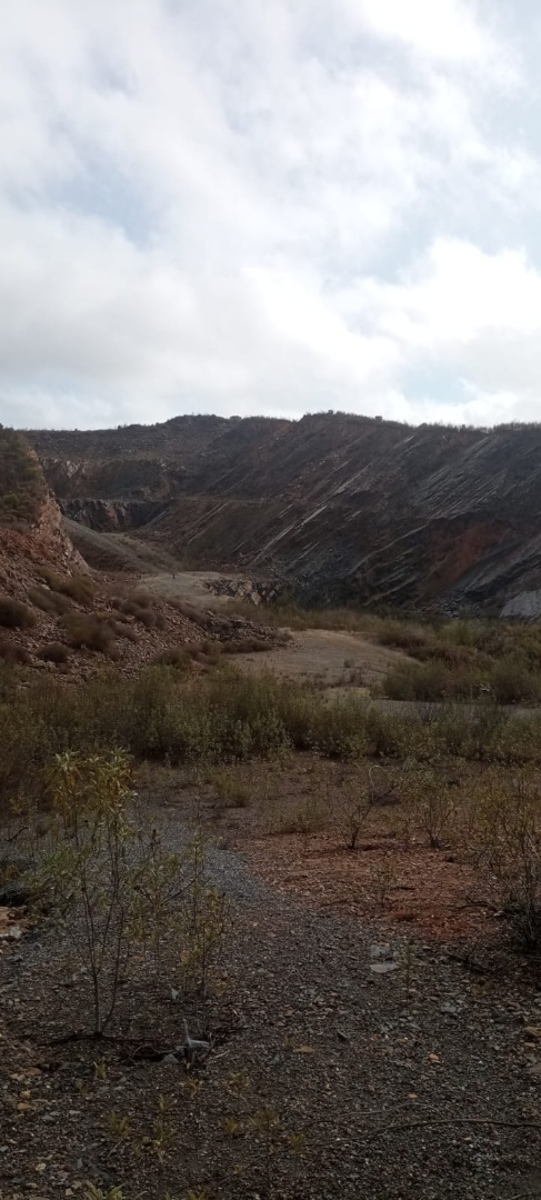
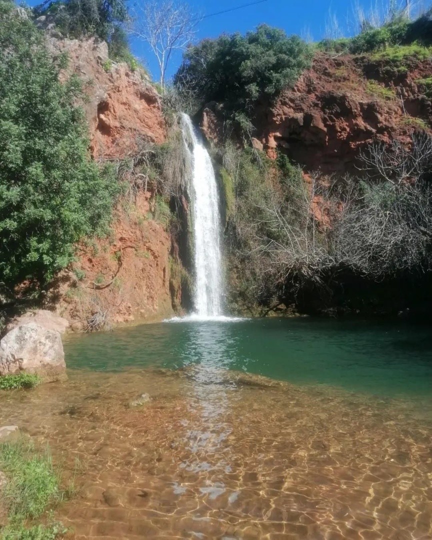
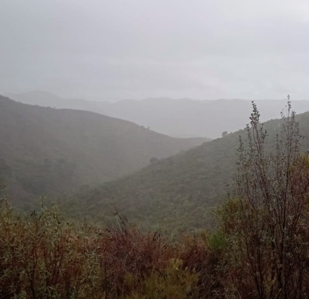
In an abandoned quarry in São Marcos da Serra, one can observe the boundary between the turbidites of the Mira Formation and the more recent rocks of the Brejeira Formation. This site also reveals the valley formed by the São Marcos da Serra-Quarteira Fault, a significant fracture that runs through the rocks of the area from northwest to southeast, separating the Serra do Caldeirão to the east from the Serra de Monchique to the west.
Locality: São Marcos da Serra