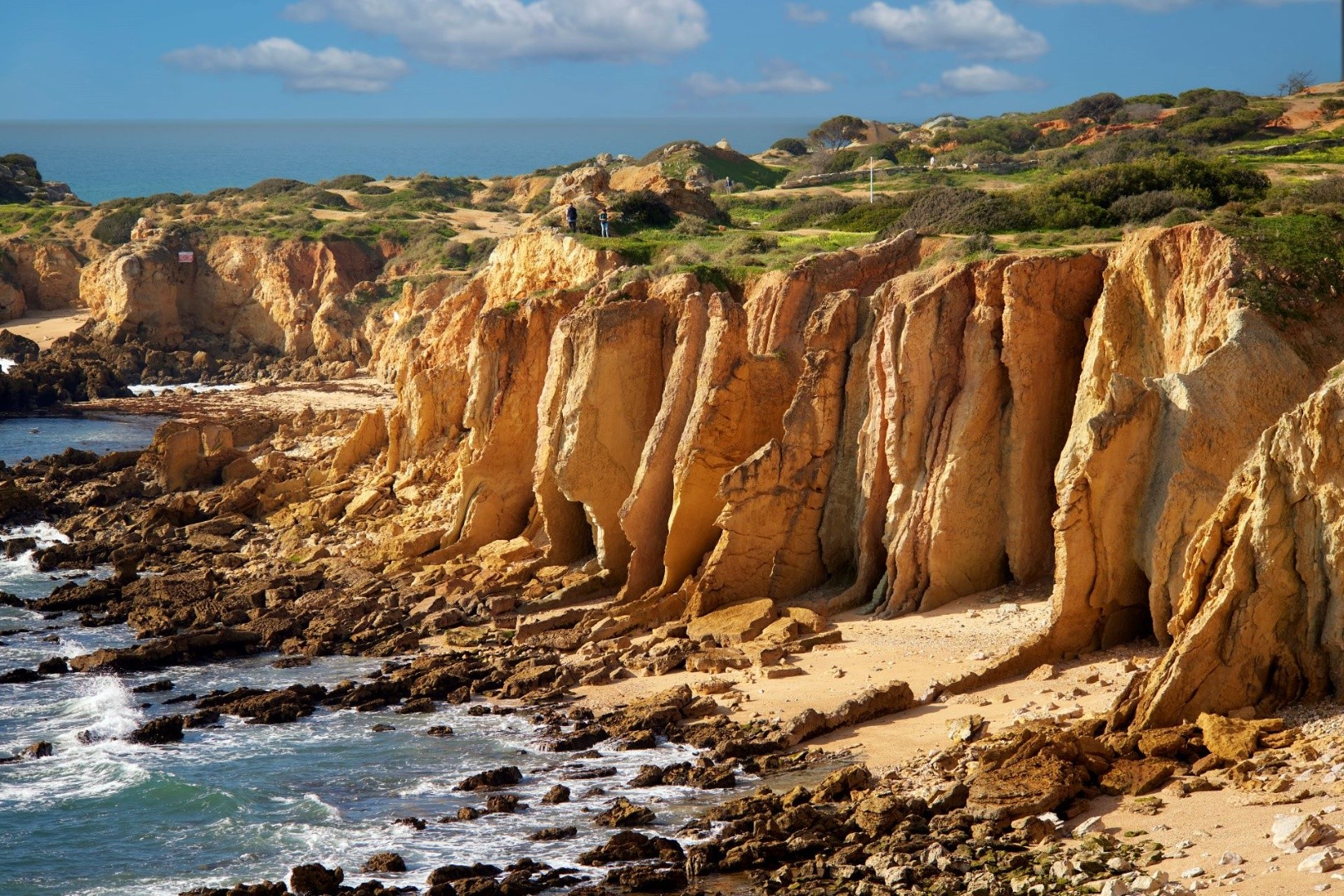
TECTONIC
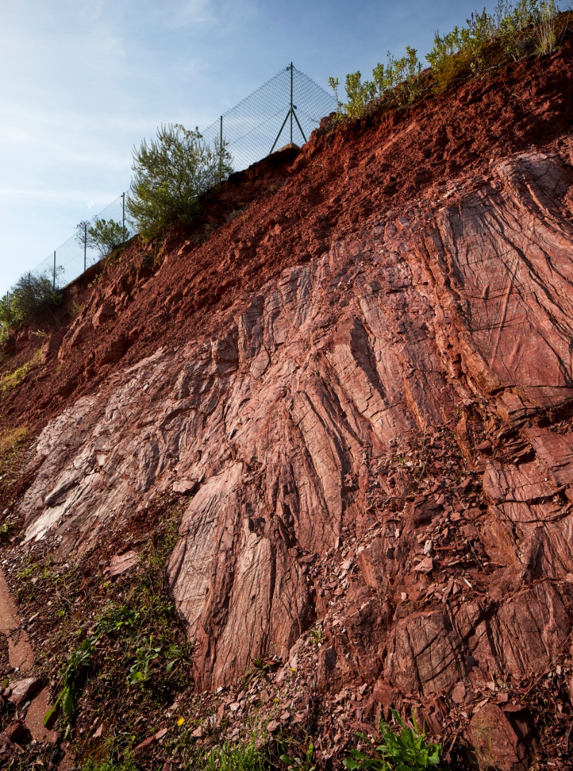
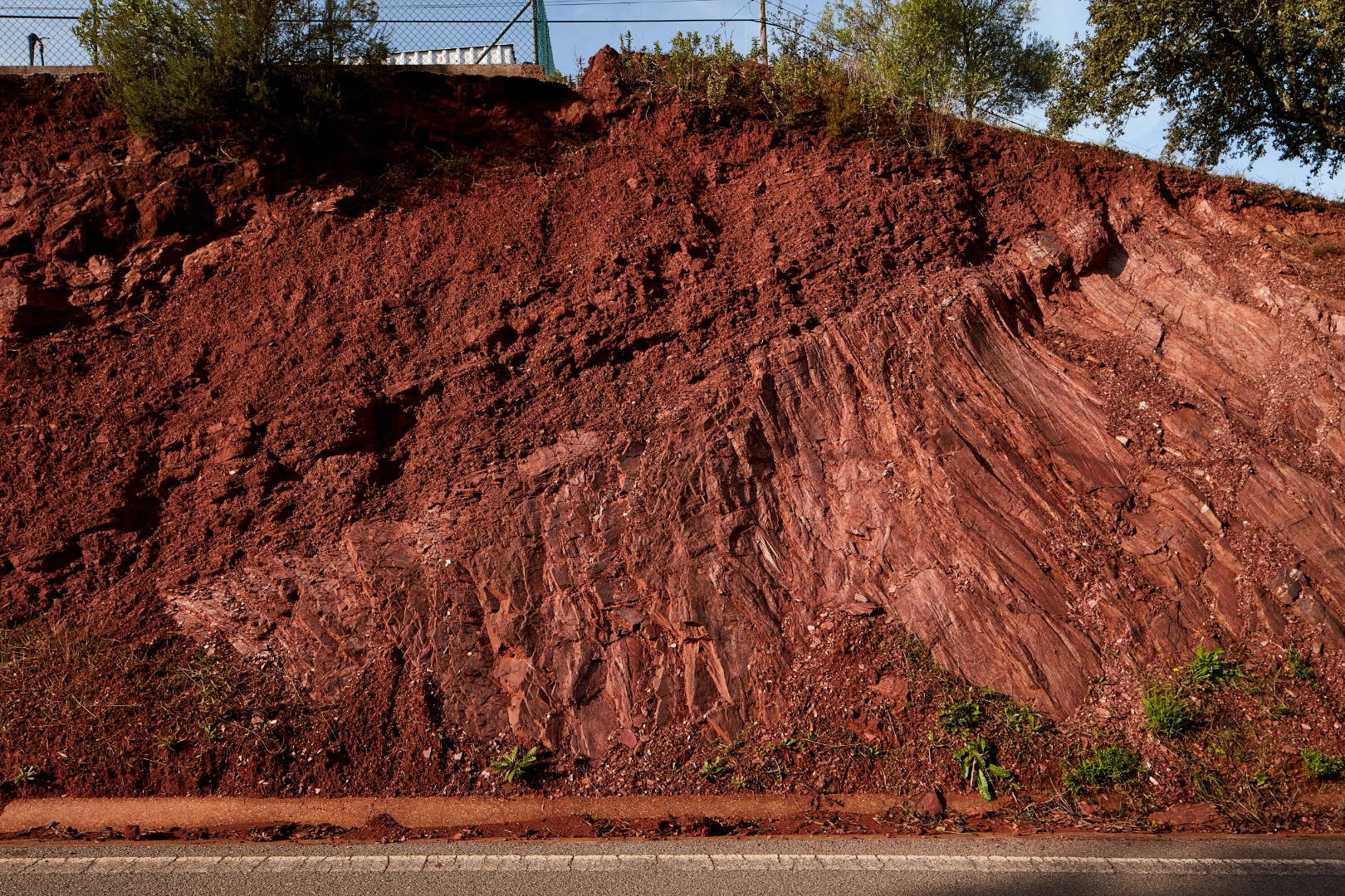
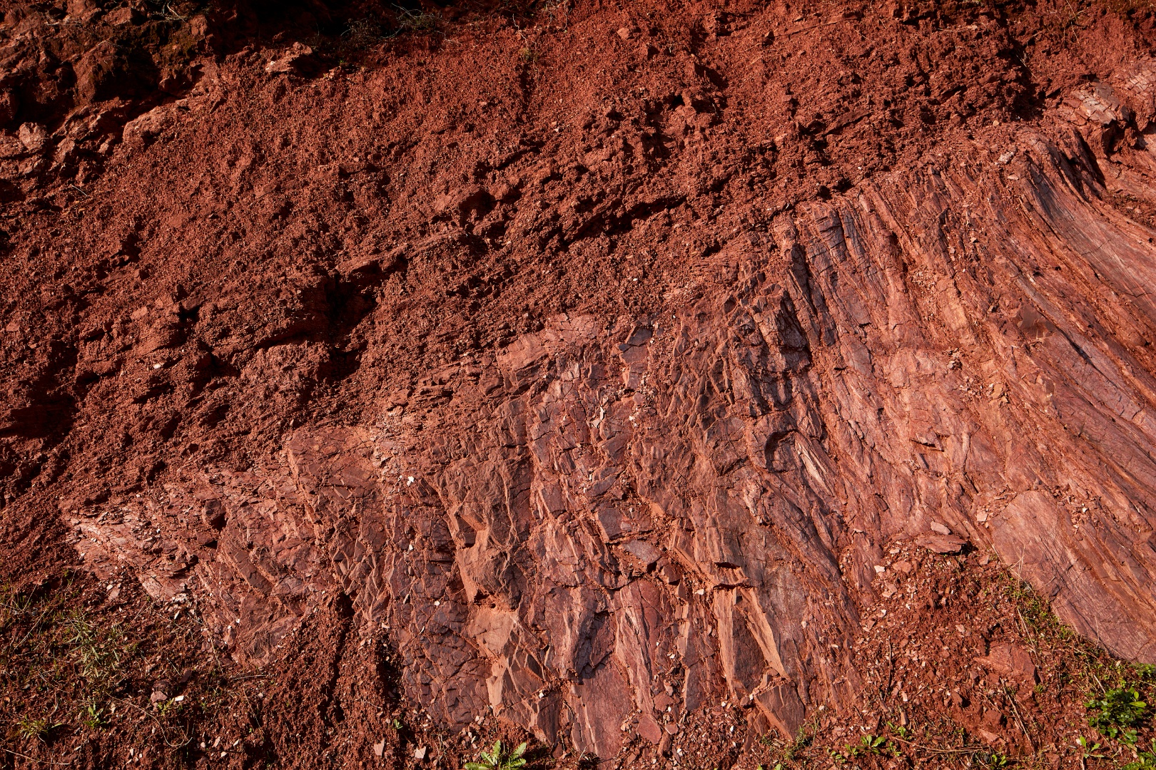
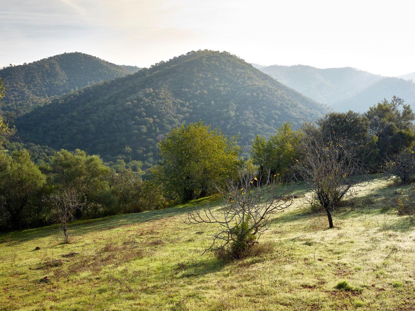
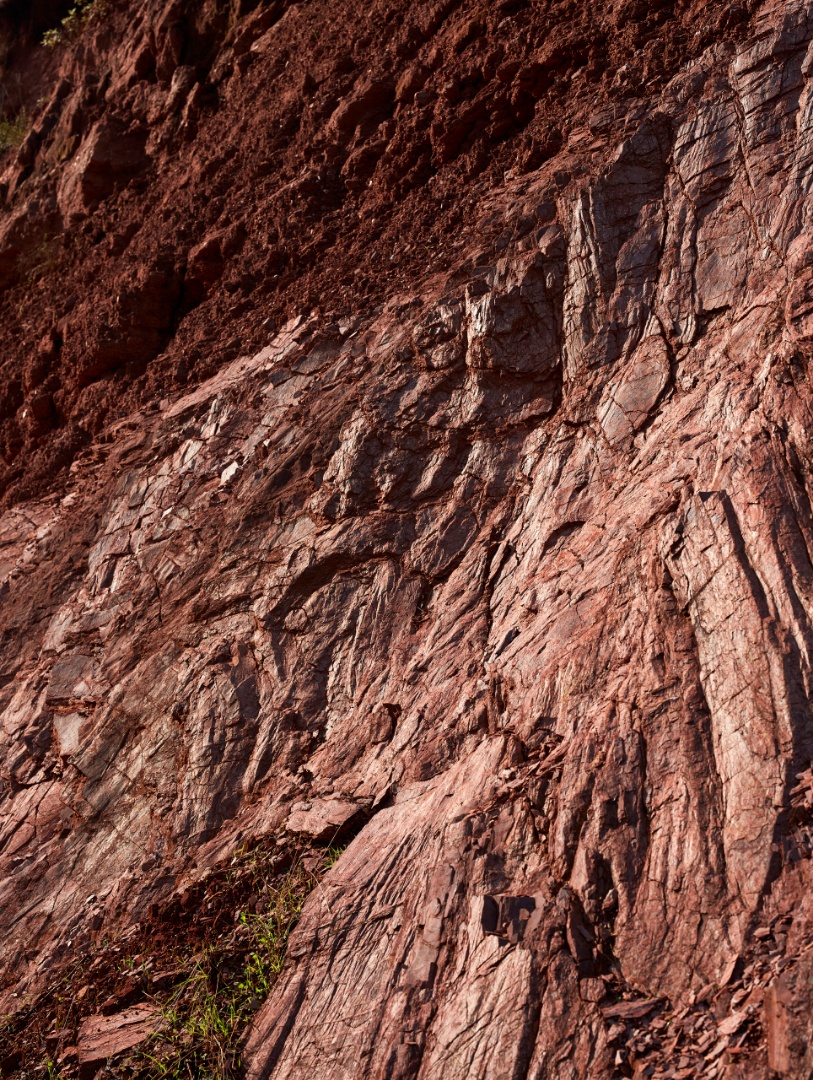
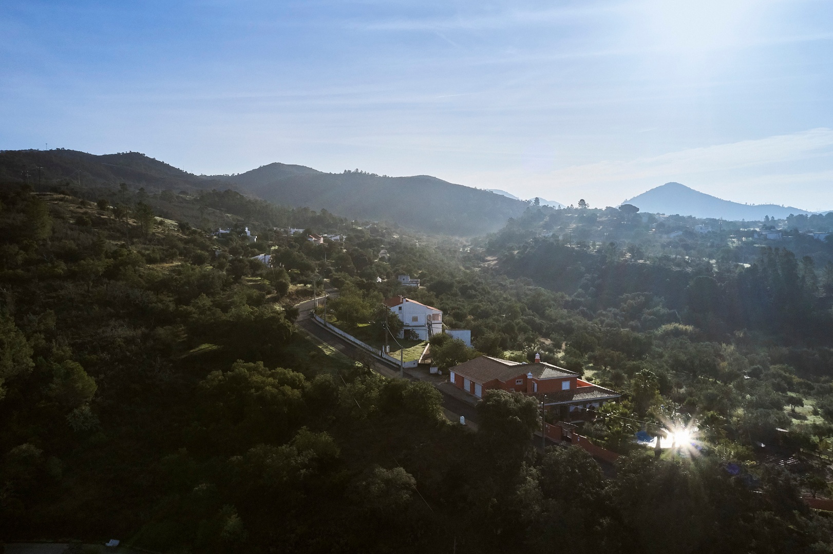
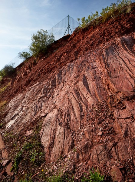
This geological site, located in the village of Pirinéu, offers a clear view of a well-defined contact between two distinct types of sedimentary rocks: the older greywackes and shales, and the more recent reddish sandstones. The layers of reddish sandstone are situated above this contact and run parallel to it, while the older layers below the contact are inclined at a steeper angle. This specific type of contact is known as an 'angular unconformity.' Although this represents a gap of approximately 80 million years in the geological record, it reveals a fascinating chapter in the geological history of the Algarvensis Geopark.
The older greywackes and shales were formed from sediments deposited in a deep marine environment during the Carboniferous period, which lasted from 360 to 300 million years ago. During this time, these sediments settled on the floor of the Rheic Ocean, an ocean that separated the two continents of Euramerica and Gondwana. As these continents approached and eventually collided, the closure of the Rheic Ocean resulted in the progressive folding, compression, and uplift of the sediments due to tectonic forces. This continental collision led to the formation of a significant mountain range known as the Variscan Chain, contributing to the emergence of the supercontinent Pangaea.
Later, during the Permian period (300 to 252 million years ago) and the Lower Triassic period (252 to 247 million years ago), this mountain range underwent erosion, resulting in a flattened continental surface. On this newly formed surface, reddish sands and clays were deposited in fluvial and lacustrine environments during the Upper Triassic period (237 to 201 million years ago), forming the Silves Sandstones.
Location: Pirinéu, Querença - Loulé
Coordinates: 37° 12' 36,905" N | 7° 59' 28,587" W