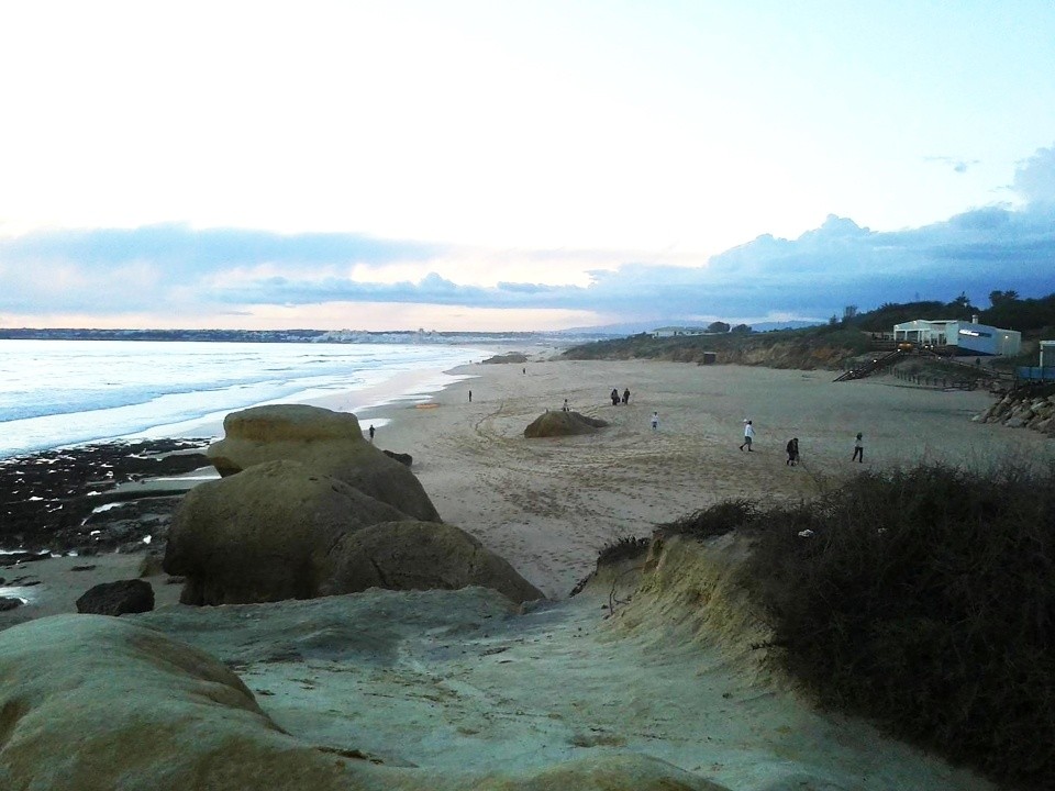
GEOMORPHOLOGY
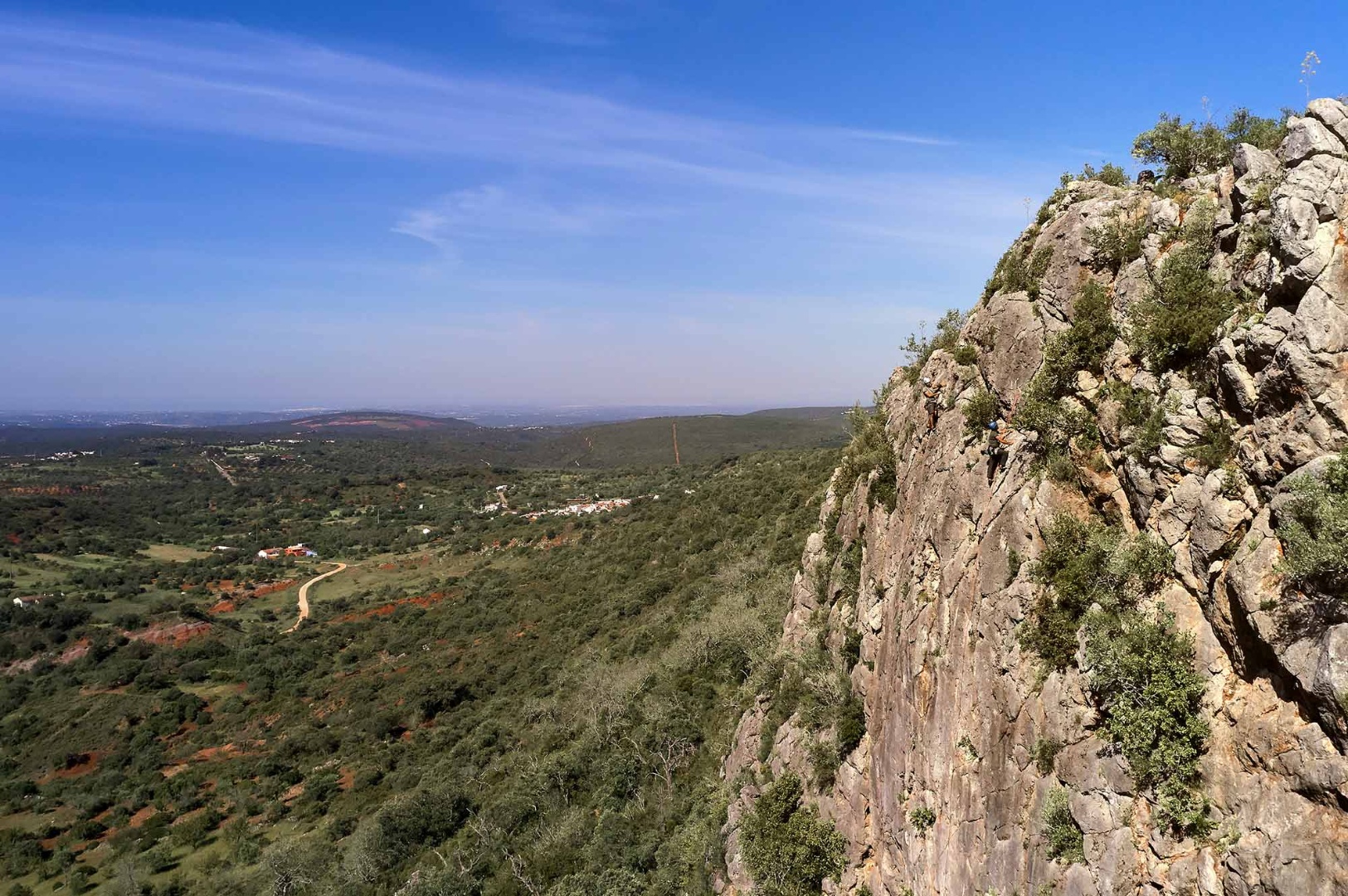
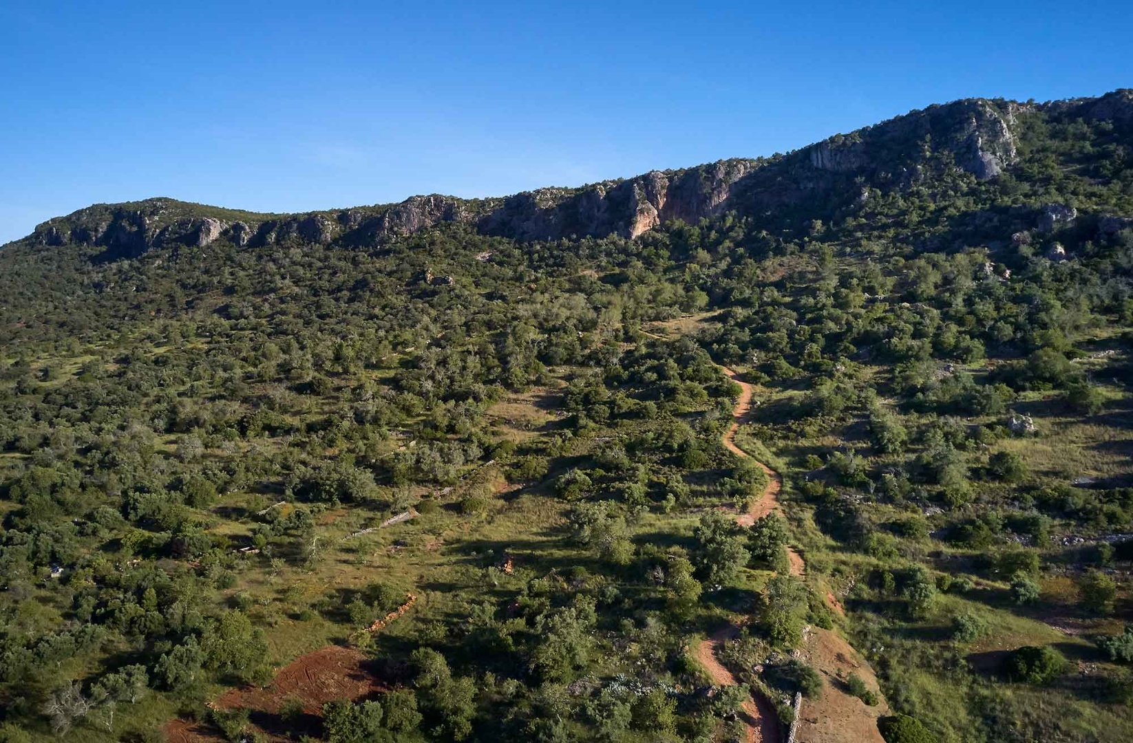
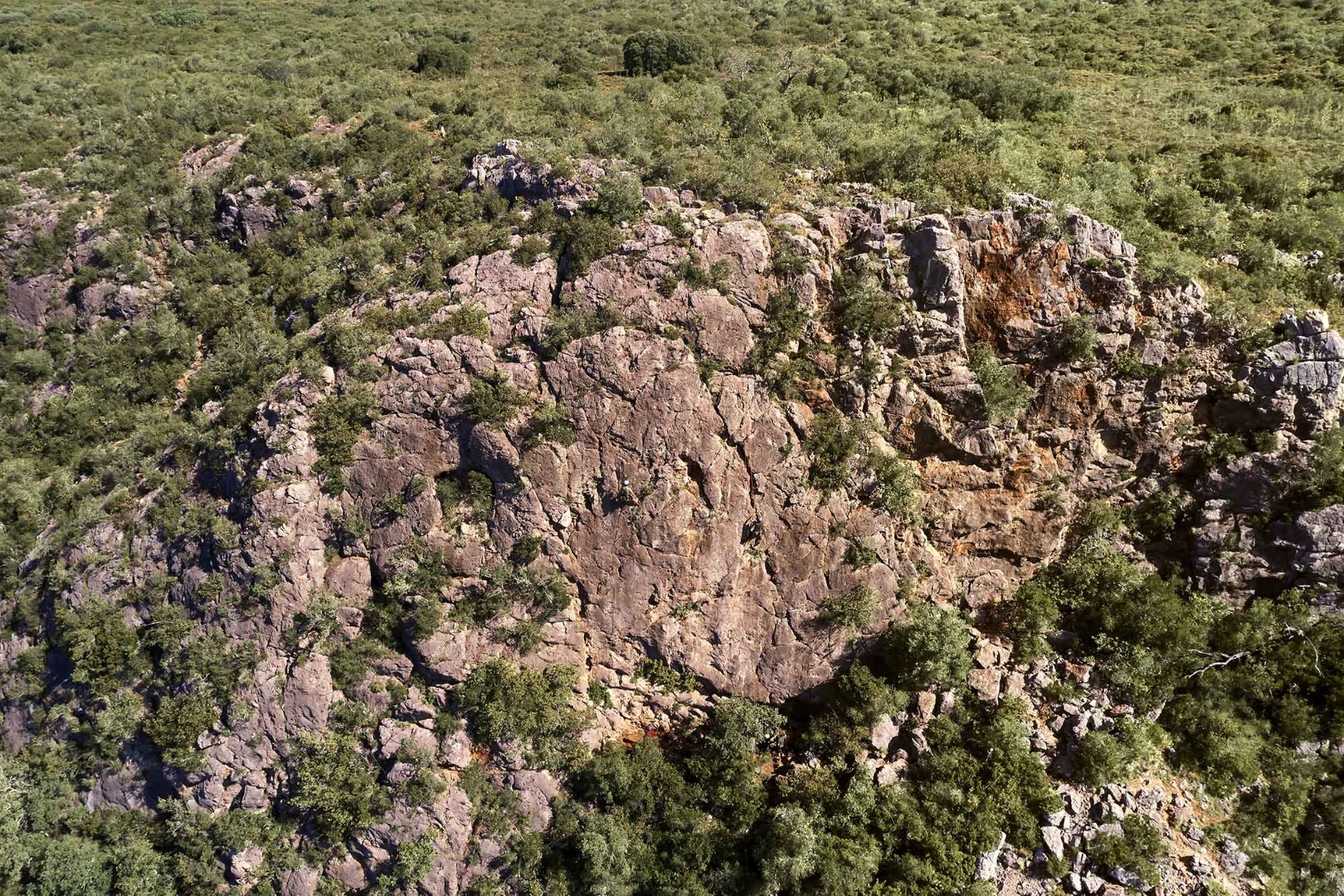
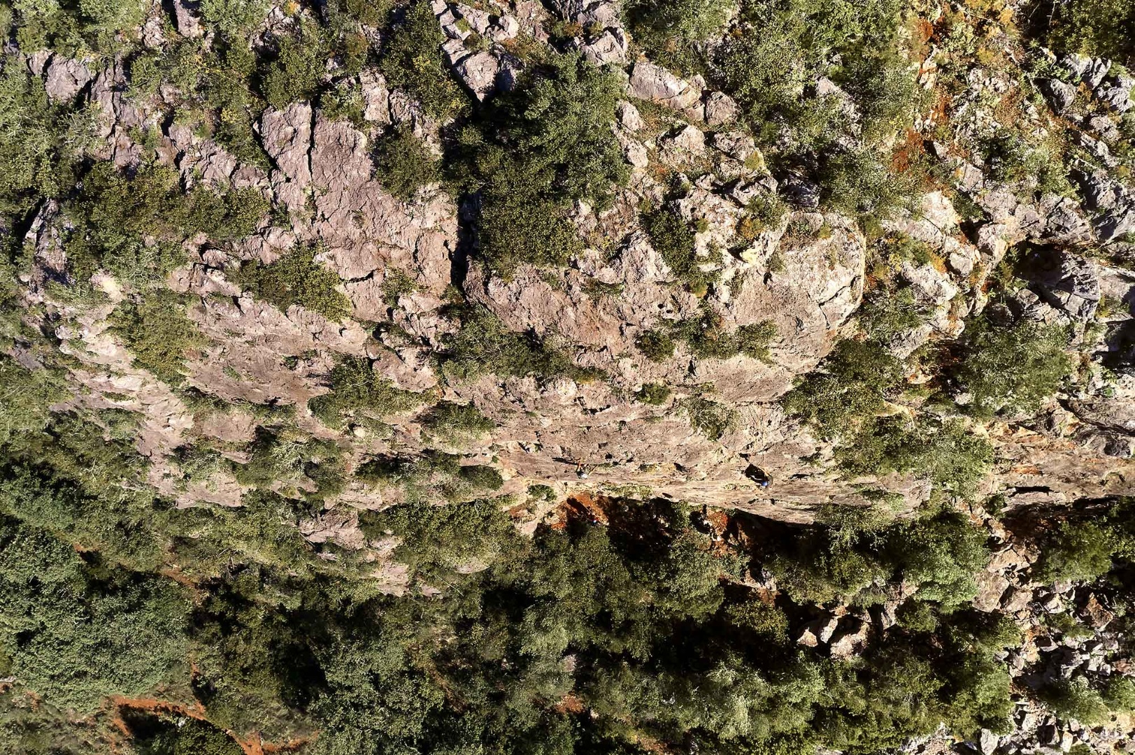
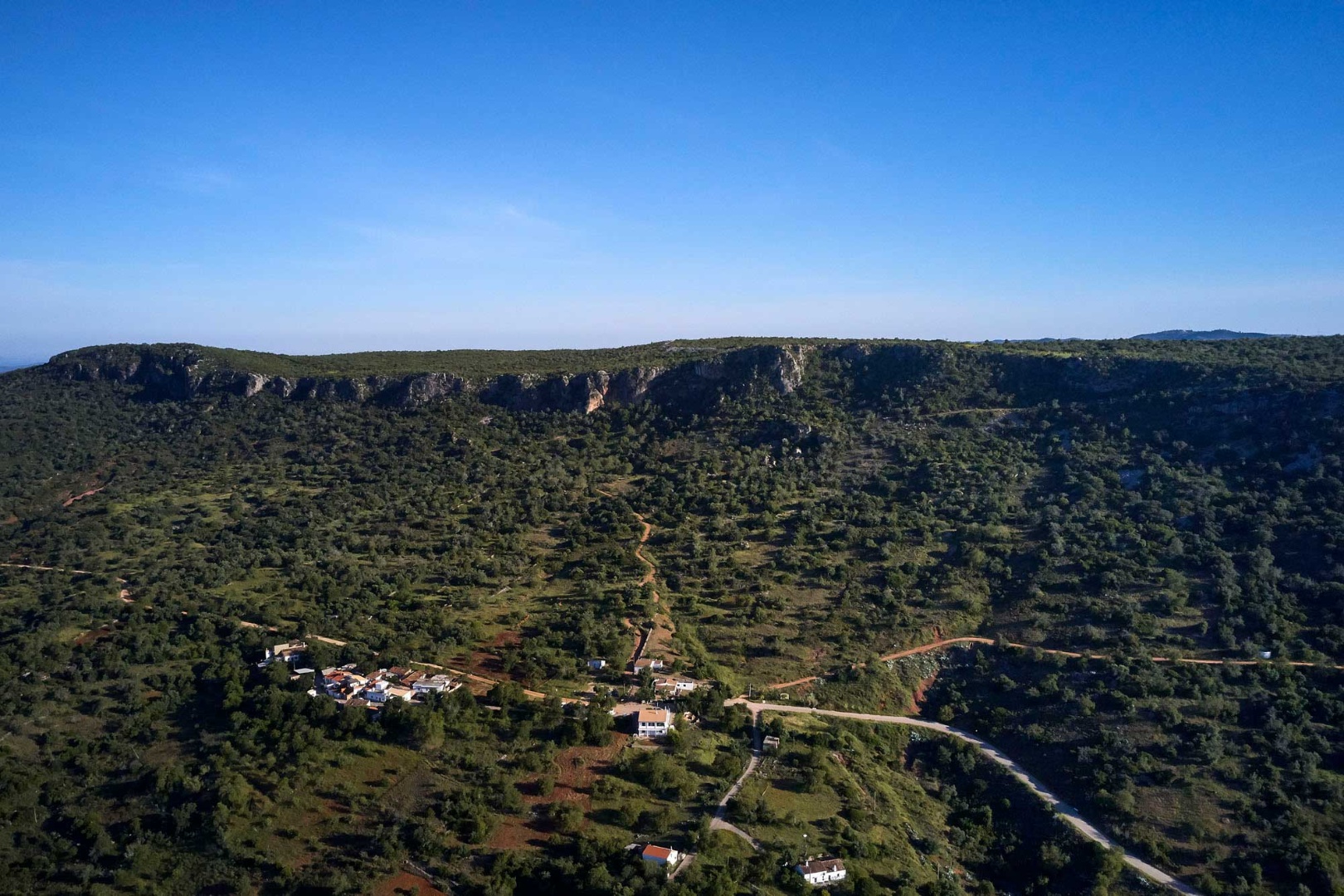
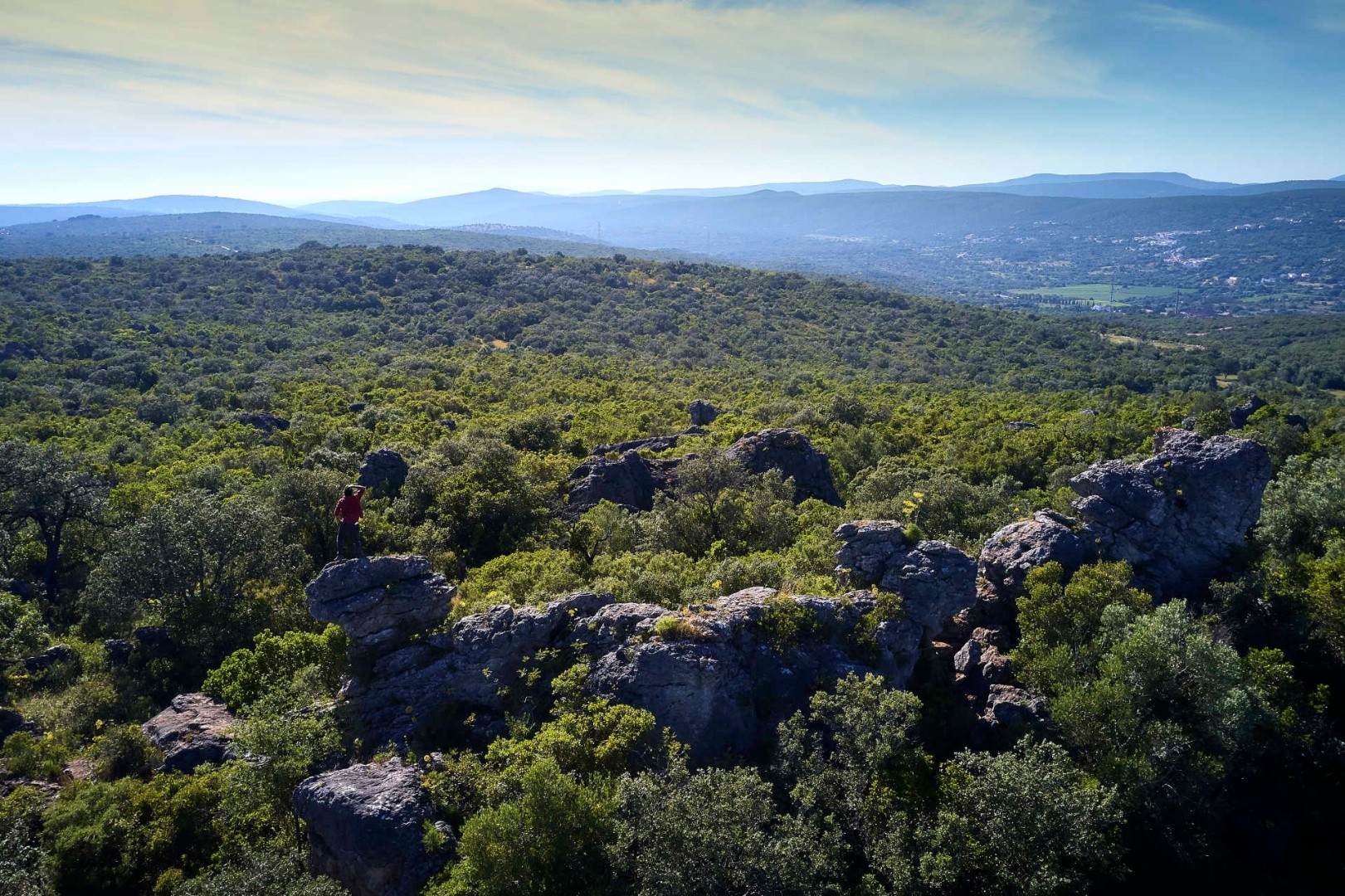
Rocha da Pena, classified as a Local Protected Landscape, features a striking topographical silhouette in the Algarvensis Geopark. Its plateau rises to an altitude of about 480 meters and extends approximately 2 kilometres in length. This landscape is composed of Lower Jurassic limestone, dating back 201.4 to 145 million years ago. Positioned at the transition between the Serra and the Barrocal regions, Rocha da Pena is characterised as a mesa landform—an elevated area with a flat top surrounded by cliffs. It runs in an east-west direction and has formed because of various factors, including lithological, stratigraphic, tectonic, geomorphological, hydrological, and climatic influences.
This site features rocks that date back as far as the Carboniferous period (359-323 million years ago) and extend to the present, encompassing the Quaternary period (2.58 million years ago to the present). There are, however, two notable stratigraphic gaps: the first occurs between the Carboniferous and Upper Triassic formations, and the second between the Lower Jurassic and the Quaternary. Despite these gaps, the lithological formations at Rocha da Pena represent a significant part of the geological history recognised within the territory of the Algarvensis territory.
Rocha da Pena, with its karst relief preserved over time, reveals itself as a geomonument of recognised multidisciplinary interest, highlighting its geodiversity and biodiversity.
Location: Rocha da Pena – Salir, Benafim - Loulé
Coordinates: 37.254653, -8.105796