Geological History
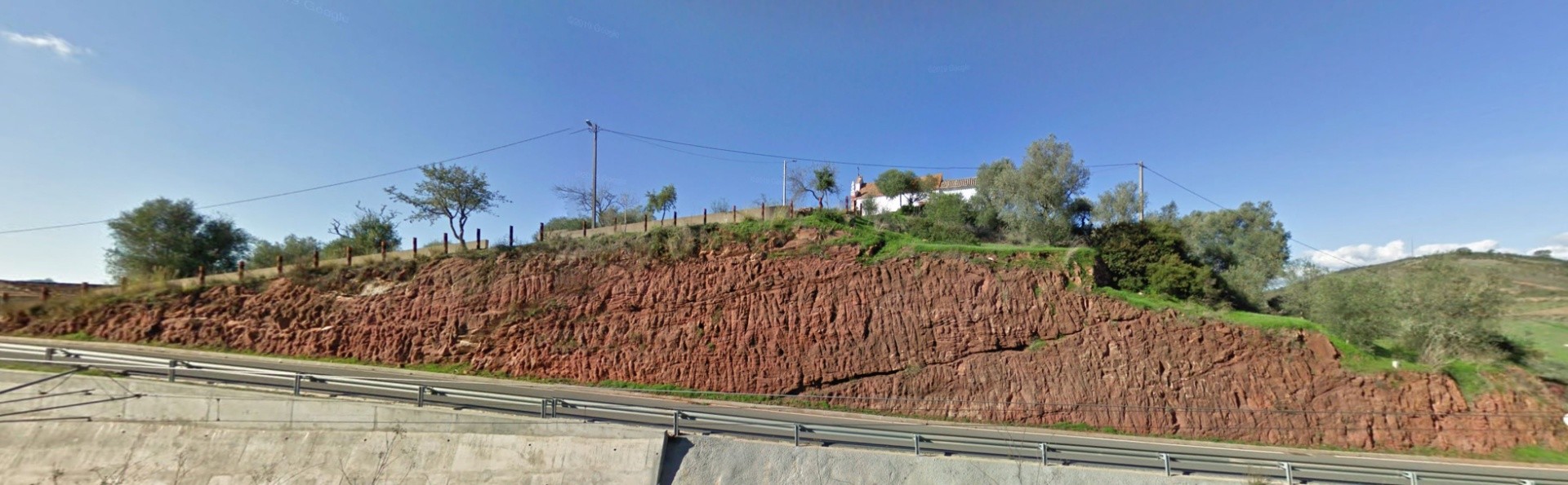
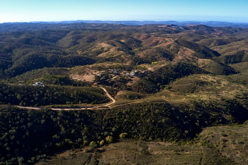
The Serra do Caldeirão is the largest mountain range in the Algarve and is made up of the oldest rocks in the Algarvensis territory. These rocks date back to the Carboniferous period, approximately 359 to 299 million years ago, and are known as the Baixo Alentejo Flysch Group. They were formed from the deposition of sands and clays at great depths on the floor of the Rheic Ocean, which once separated two large continents: Euramerica and Gondwana.
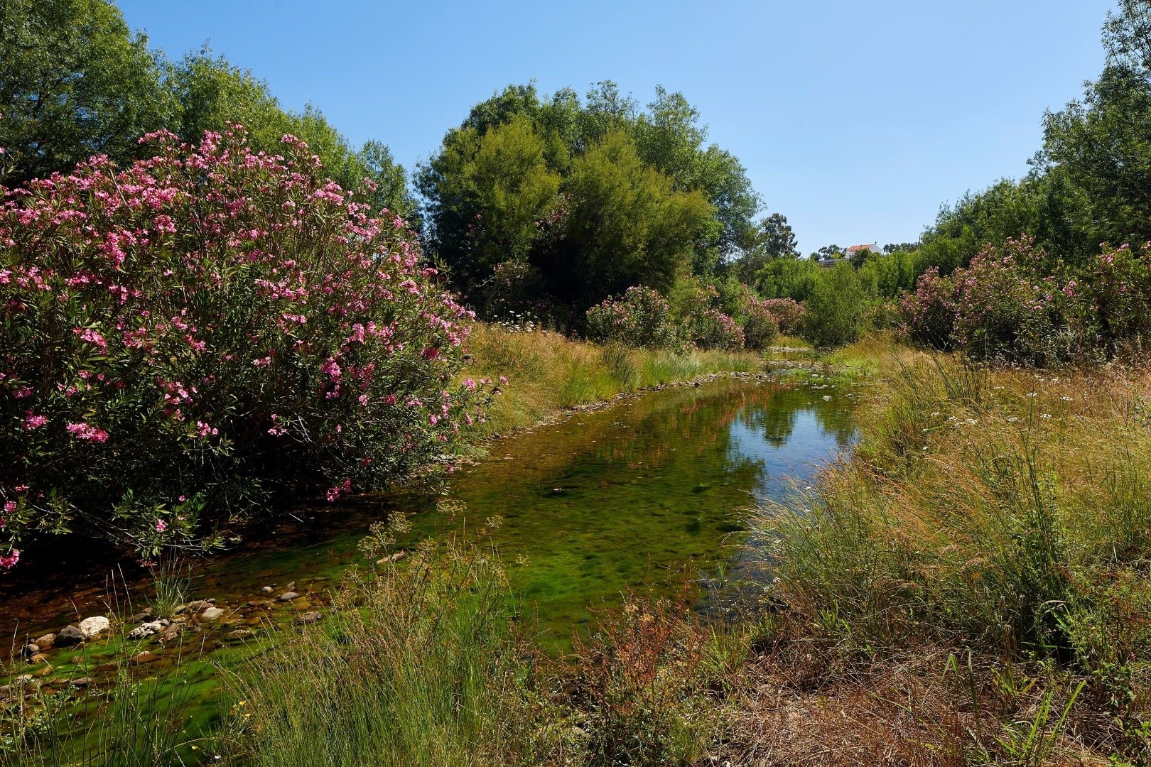
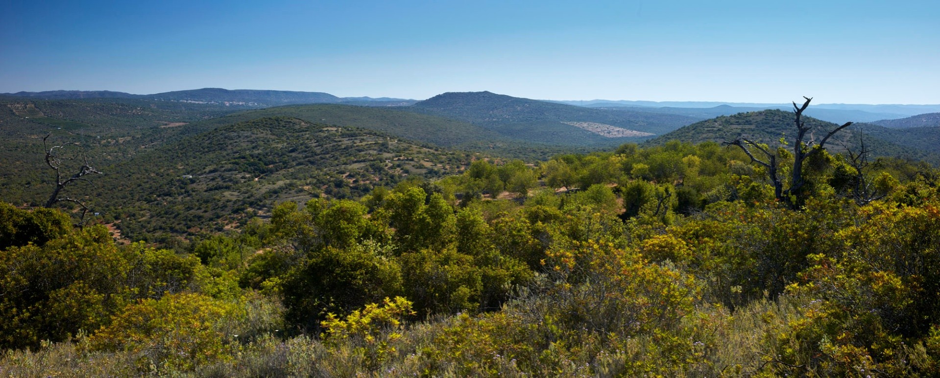
As sediments accumulated on the bottom of this ancient sea, they gave rise to the shales and greywackes that define the geological substrate of the Algarve Mountain range. The Serra do Caldeirão features several watercourses, although most of them are intermittent throughout the year. The highest point in the range is Pelados, which reaches an altitude of 589 meters.
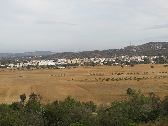
The Serra do Caldeirão, once covered in Mediterranean vegetation, is now primarily populated by cork oaks (Quercus suber) and holm oaks (Quercus rotundifolia). This mountain range plays a vital role in regulating the climate of the Algarve coast. It significantly influences local weather patterns by blocking northern winds, which helps protect the region from lower temperatures. Additionally, it obstructs humid winds coming from the south, contributing to reduced rainfall in the northern areas.
Locality: