TECTONIC
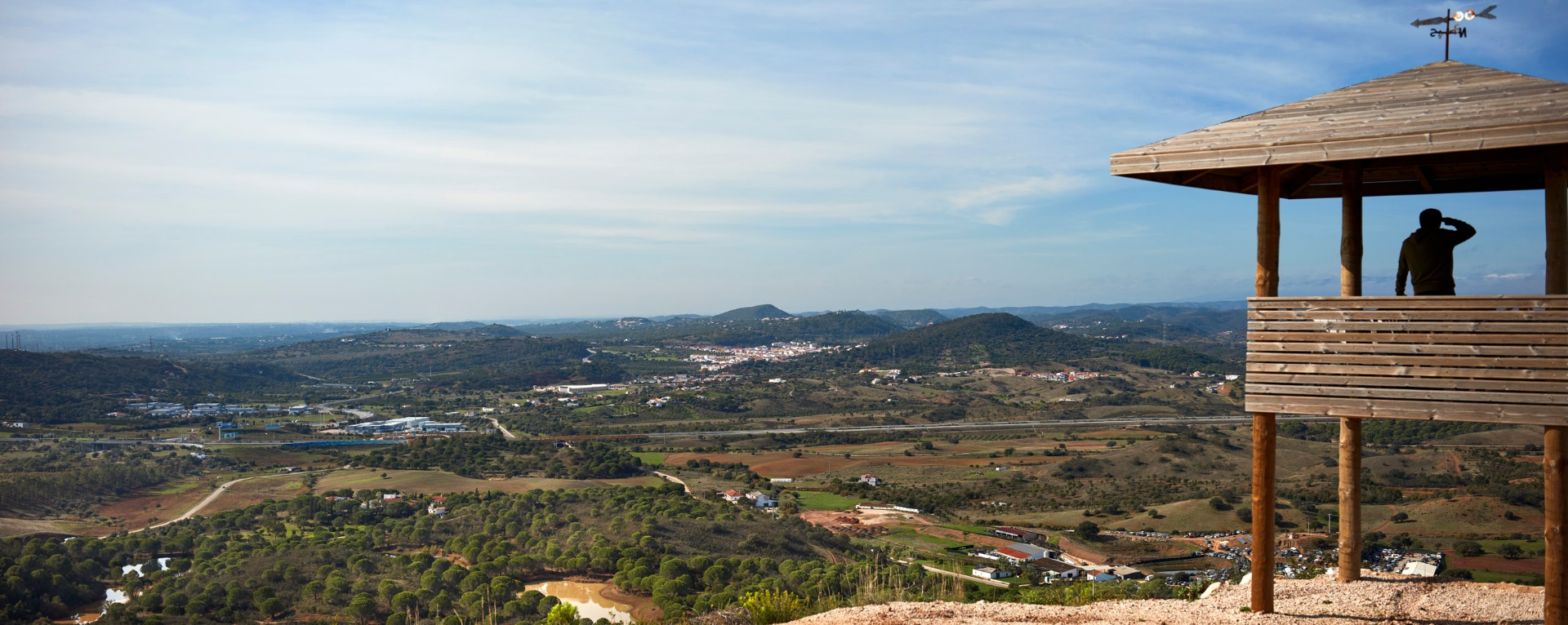
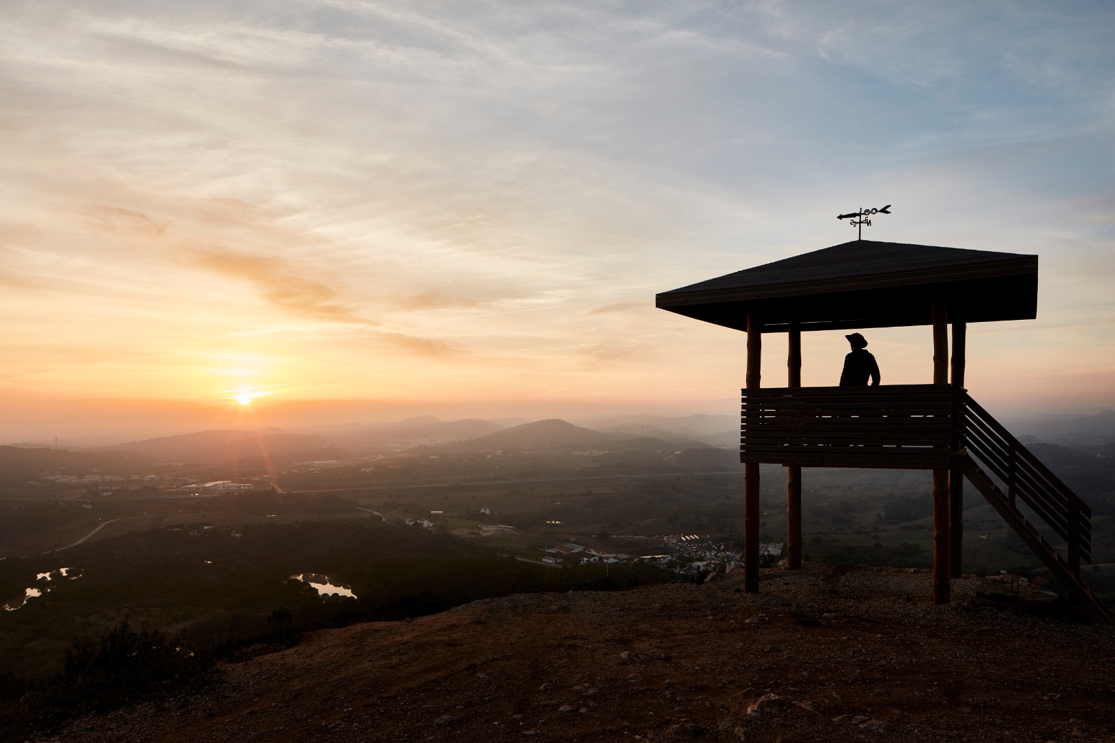
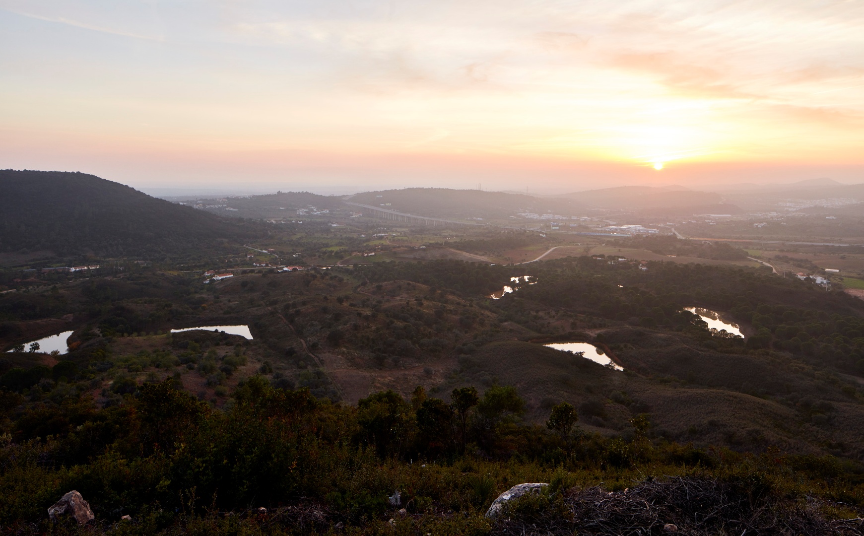
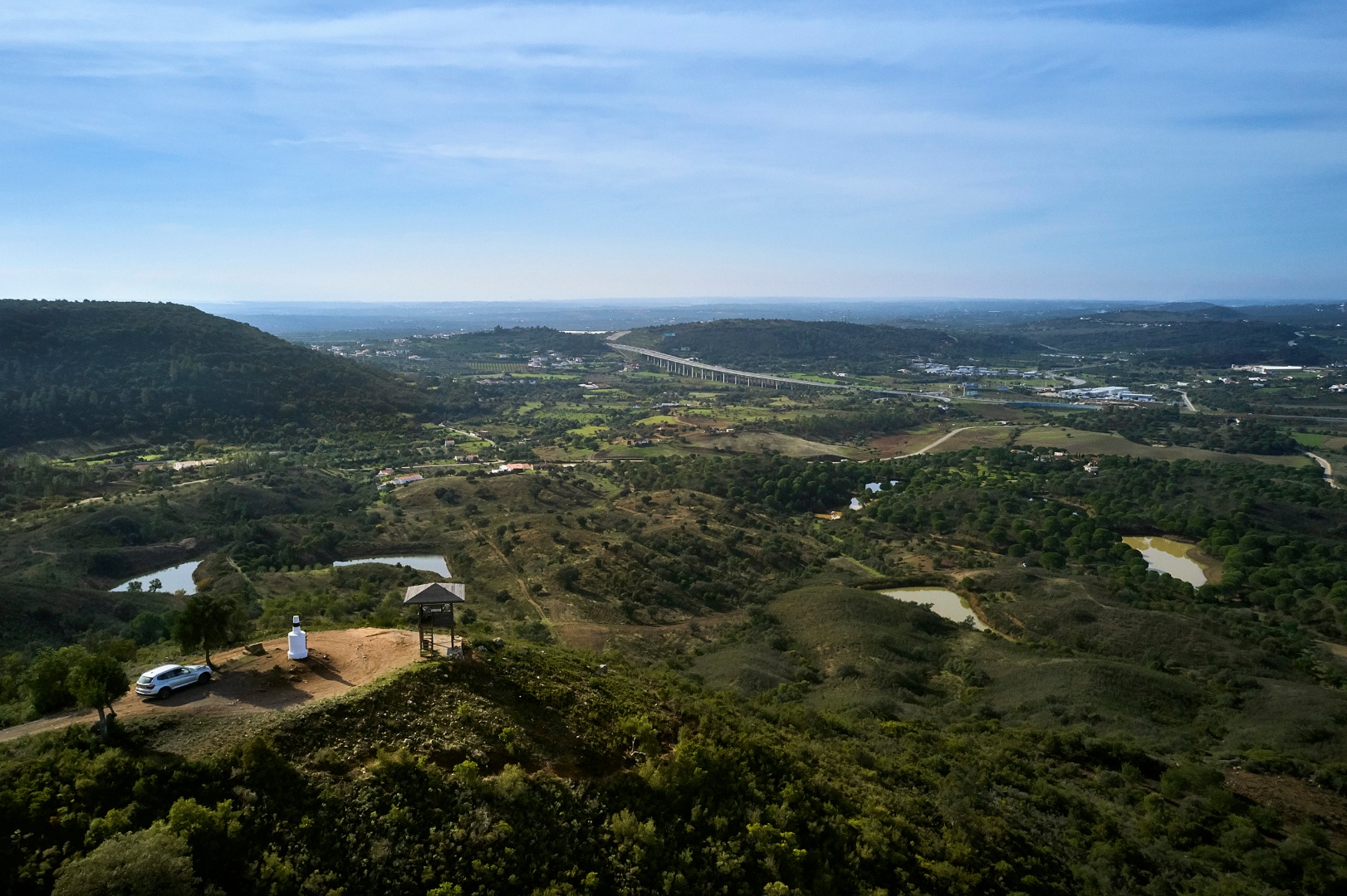
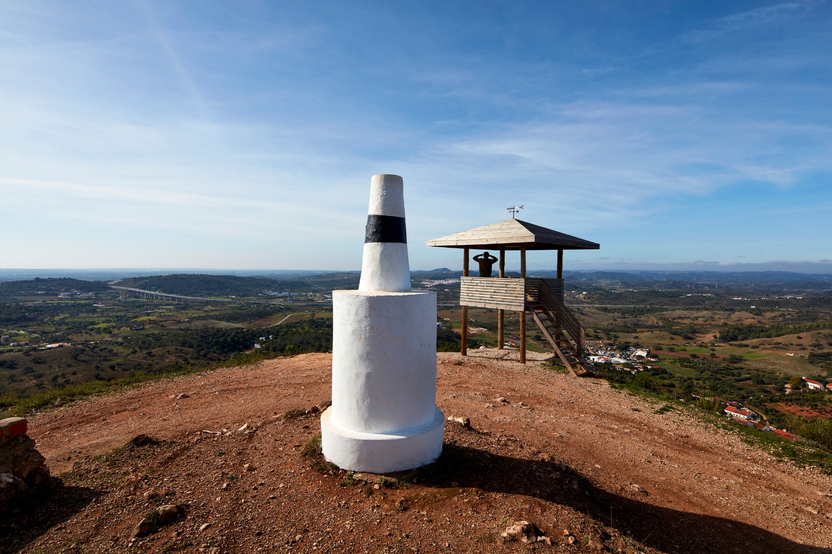
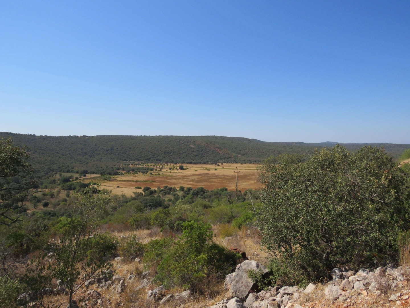
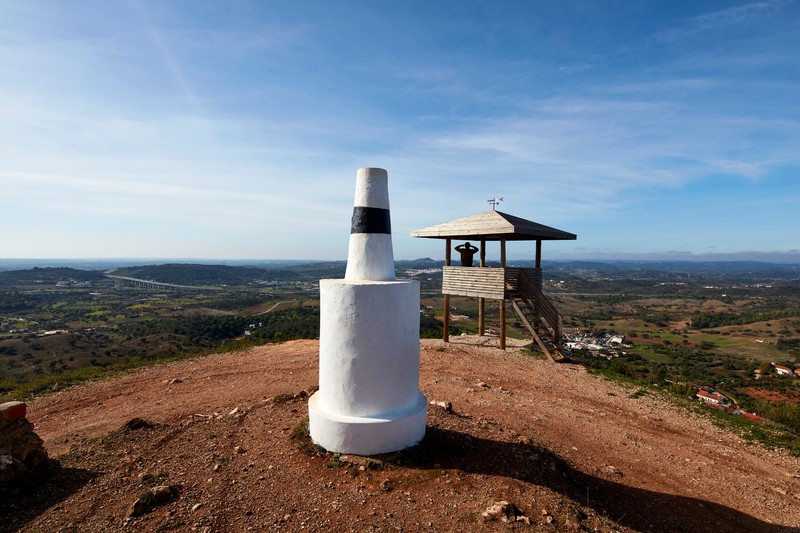
The viewpoint at Pico Alto provides a privileged location for enjoying a panoramic view of the São Marcos-Quarteira Fault valley and the surrounding landscape. The São Marcos-Quarteira Fault is a significant fracture in the Earth's crust that formed approximately 350 million years ago during a period of mountain formation known as the Variscan orogeny. This fault created an elongated valley that runs through the Algarvensis Geopark from northwest to southeast and extends over 40 kilometres.
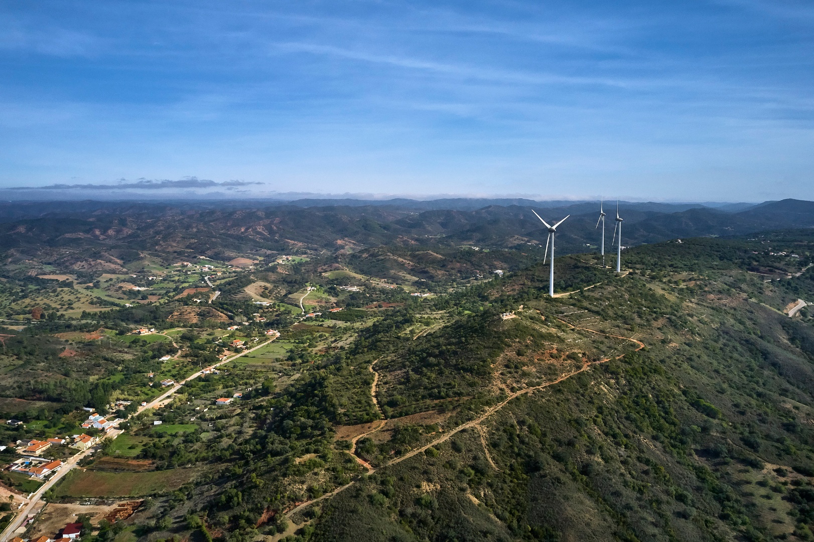
The northwestern boundary of this fault is near São Marcos da Serra and continues through Paderne before reaching the coast in the Quarteira region, where it extends onto the continental shelf. The São Marcos da Serra-Quarteira Fault is divided into two main segments. The first segment consists of the elongated valley between São Marcos da Serra and São Bartolomeu de Messines, which separates the Monchique and Caldeirão Serras. This segment primarily affects the grauwackes and shales from the Carboniferous period.
The second segment involves the valley between the towns of Tunes and Quarteira, where the Quarteira stream has settled into more recent rock formations from the Mesozoic and Cenozoic eras. The São Marcos da Serra-Quarteira Fault is considered tectonically active due to geological evidence of movement in the last three million years and is also associated with seismic activity.
Location: São Bartolomeu de Messines - Silves
Coordinates: 37.262806, -8.240056