Water Resources
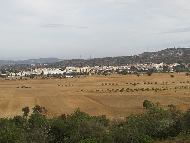
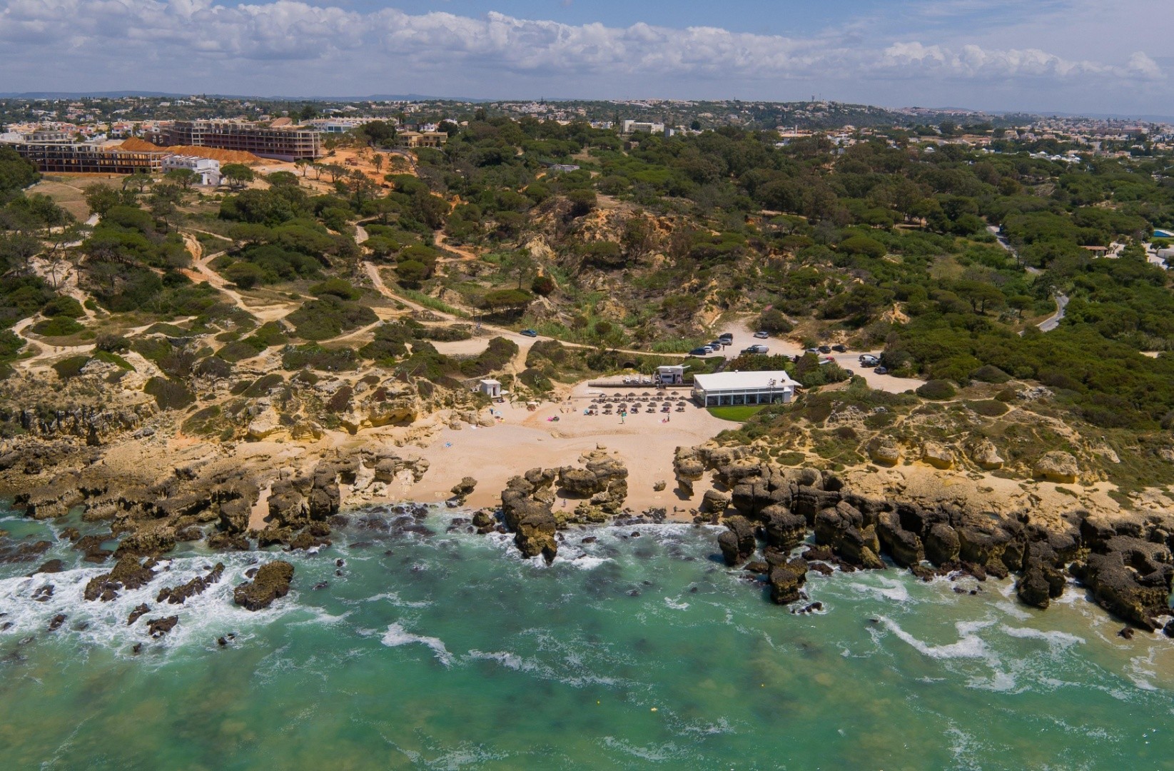
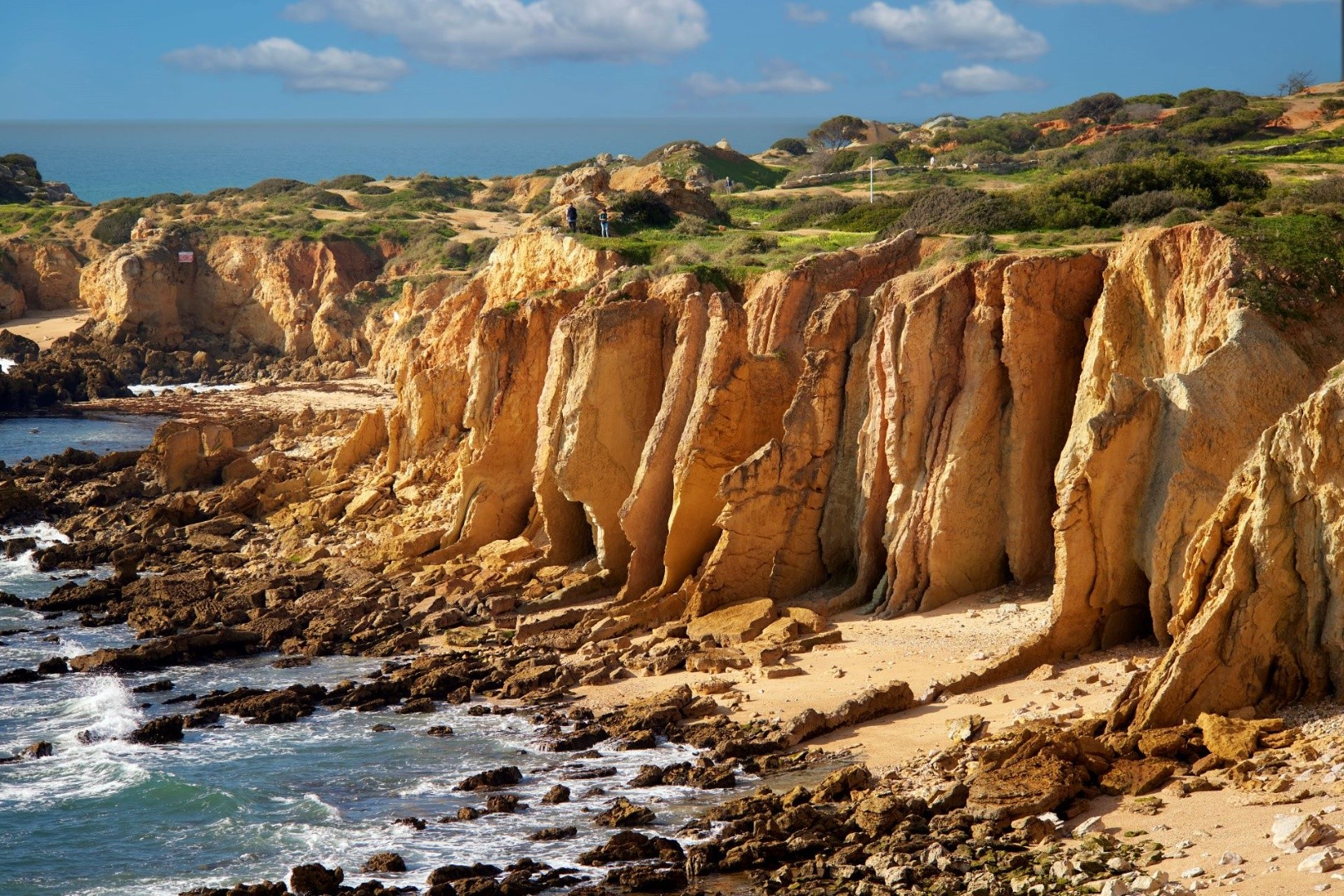
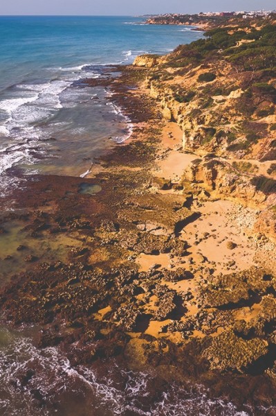
The southern coast of the Algarve stretches for 155 km along the Atlantic Ocean, with approximately half of its shoreline featuring rocky cliffs, extending from Cape Saint Vincent to Olhos de Água. At Olhos de Água, the coastline divides into two regions: Barlavento to the west and Sotavento to the east, based on their exposure to the prevailing winds and waves from the west-southwest.
These rocky cliffs are part of the Lagos-Portimão Carbonate Formation, known for its distinctive yellowish colouration. The composition primarily includes limestones, calcarenites, and siltstones from the Miocene epoch (23 to 5.3 million years ago). The rock layers are abundant in marine fossils, such as bivalves, sea urchins, and calcareous algae, which indicate the presence of marine environments ranging from shallow beaches to depths of approximately 20 meters.
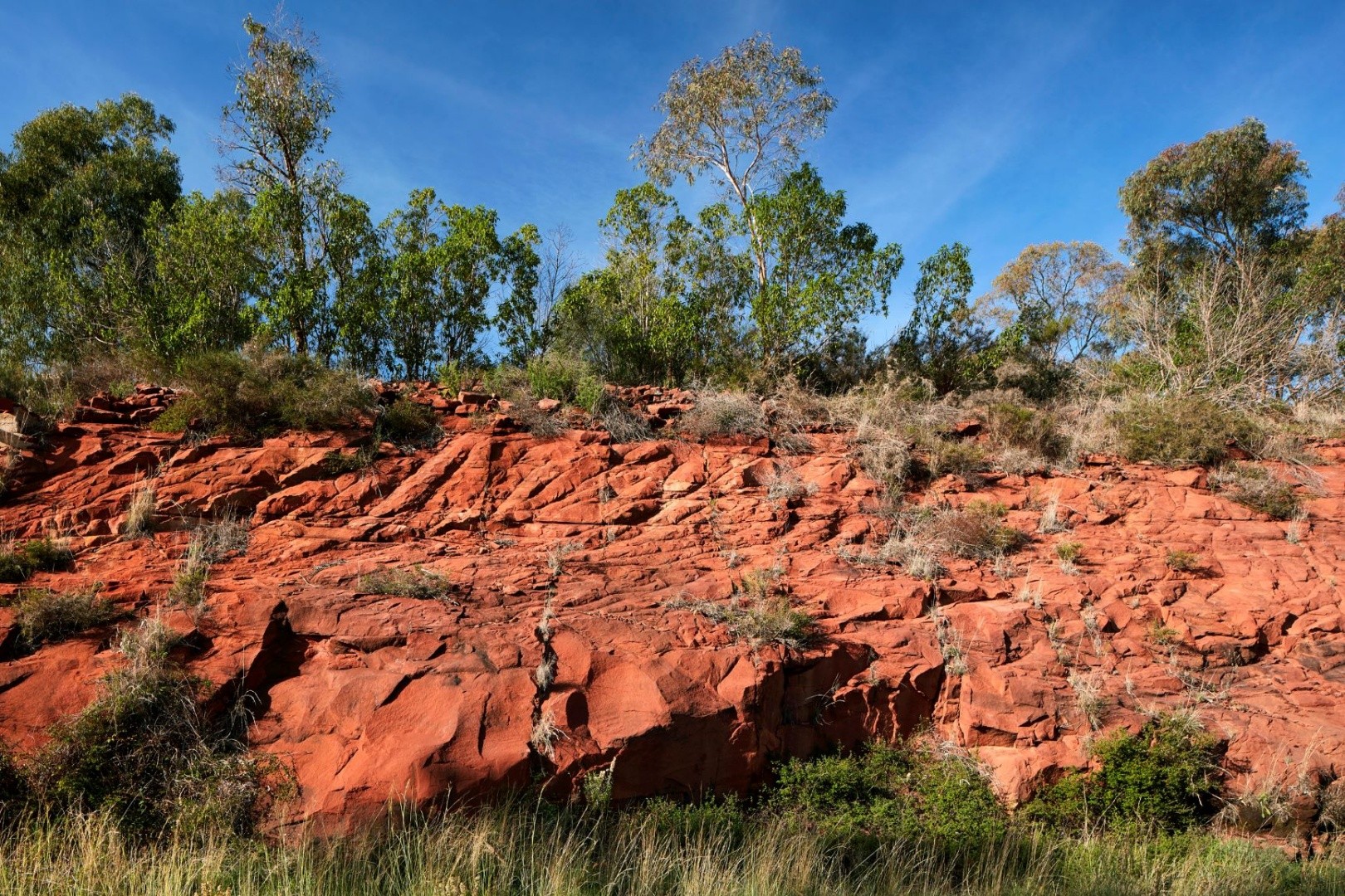
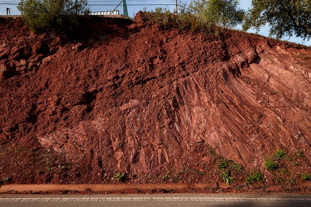
Since the late Miocene and into the early Pliocene (7 to 3.6 million years ago), the limestone rocks of these cliffs have undergone significant karstification, resulting in the formation of sinkholes. These sinkholes were later filled with red and yellow clastic sediments from the Pliocene and Pleistocene, which are rich in iron.
Another notable feature of the area is the "olheiros," or small springs that appear in the sand, revealing subterranean freshwater that rises to the beach and the sea. This freshwater originates from the Albufeira-Ribeira de Quarteira aquifer, which spans 54.6 km² and is shaped by significant tectonic faults.
Overall, this location boasts great geological interest, combining unique rock formations, geomorphological processes, and hydrogeological features, making it a remarkable open book on the natural history of the Algarve.
Locality: Olhos de Água